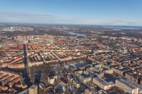
Wikimedia Commons · 2013-02-02 11:17:18
Vasastan February 2013 01.jpg
Dalagatan
Arild Vågen · Own work · CC BY-SA 3.0
osm_buildings · Up to 30 nearest references within 120 m of footprint centroid. Proximity is not evidence of facade depiction.
Geometry, properties and nearby references as JSON
Tile extent intersects this building footprint. Partial blank coverage and roof lean remain possible; intersection is not verified roof depiction.
Dalagatan
Arild Vågen · Own work · CC BY-SA 3.0
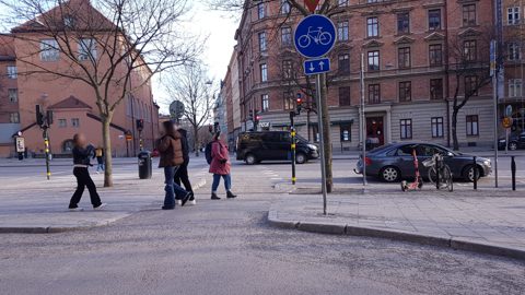
Hälsingegatan
haxpett · Mapillary contributor haxpett · CC BY-SA 4.0; Mapillary terms also apply
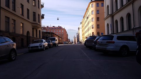
Hälsingegatan
haxpett · Mapillary contributor haxpett · CC BY-SA 4.0; Mapillary terms also apply
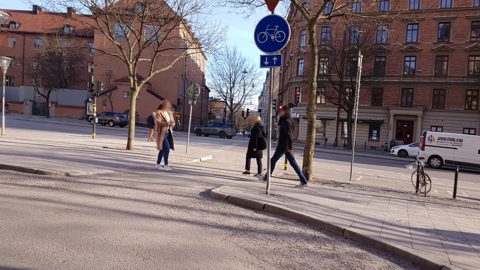
Hälsingegatan
haxpett · Mapillary contributor haxpett · CC BY-SA 4.0; Mapillary terms also apply
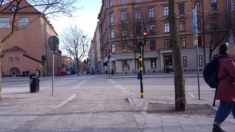
Hälsingegatan
haxpett · Mapillary contributor haxpett · CC BY-SA 4.0; Mapillary terms also apply
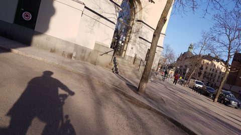
Hälsingegatan
haxpett · Mapillary contributor haxpett · CC BY-SA 4.0; Mapillary terms also apply