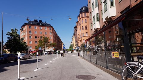
Mapillary · 2021-06-04T09:00:53.784000+00:00
Near Rörstrandsgatan · 2021-06-04
Rörstrandsgatan
haxpett · Mapillary contributor haxpett · CC BY-SA 4.0; Mapillary terms also apply
Rörstrandsgatan and the streets around it, north along Norrbackagatan to Hagastaden. Explore building fronts, street details, historical photographs and geometry.
Rörstrandsgatan
haxpett · Mapillary contributor haxpett · CC BY-SA 4.0; Mapillary terms also apply
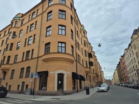
Norrbackagatan
jopparn · Mapillary contributor jopparn · CC BY-SA 4.0; Mapillary terms also apply
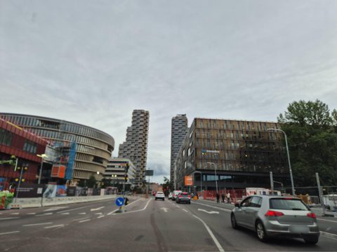
Solnavägen
jopparn · Mapillary contributor jopparn · CC BY-SA 4.0; Mapillary terms also apply
Each area page has source-linked images and a matching JSON index. Area groups overlap; nearby imagery can show infrastructure, interiors or other subjects.
Roofs and courtyards from three survey years, plus 10 original oblique aerial photographs.
Start at llms.txt or the JSON discovery document. Follow a street index, then individual photo and building records. Every record has direct image and source links.
Capture dates and rights are retained per image. Google screenshots are listed separately from source-licensed photographs.