Overhead survey 2006 · 152064, 6581632
Processed WMS mosaic, not a raw camera frame or calibrated photogrammetry sequence. Roof edges may lean; survey age matters in Hagastaden. White/no-data areas can occur outside city coverage.
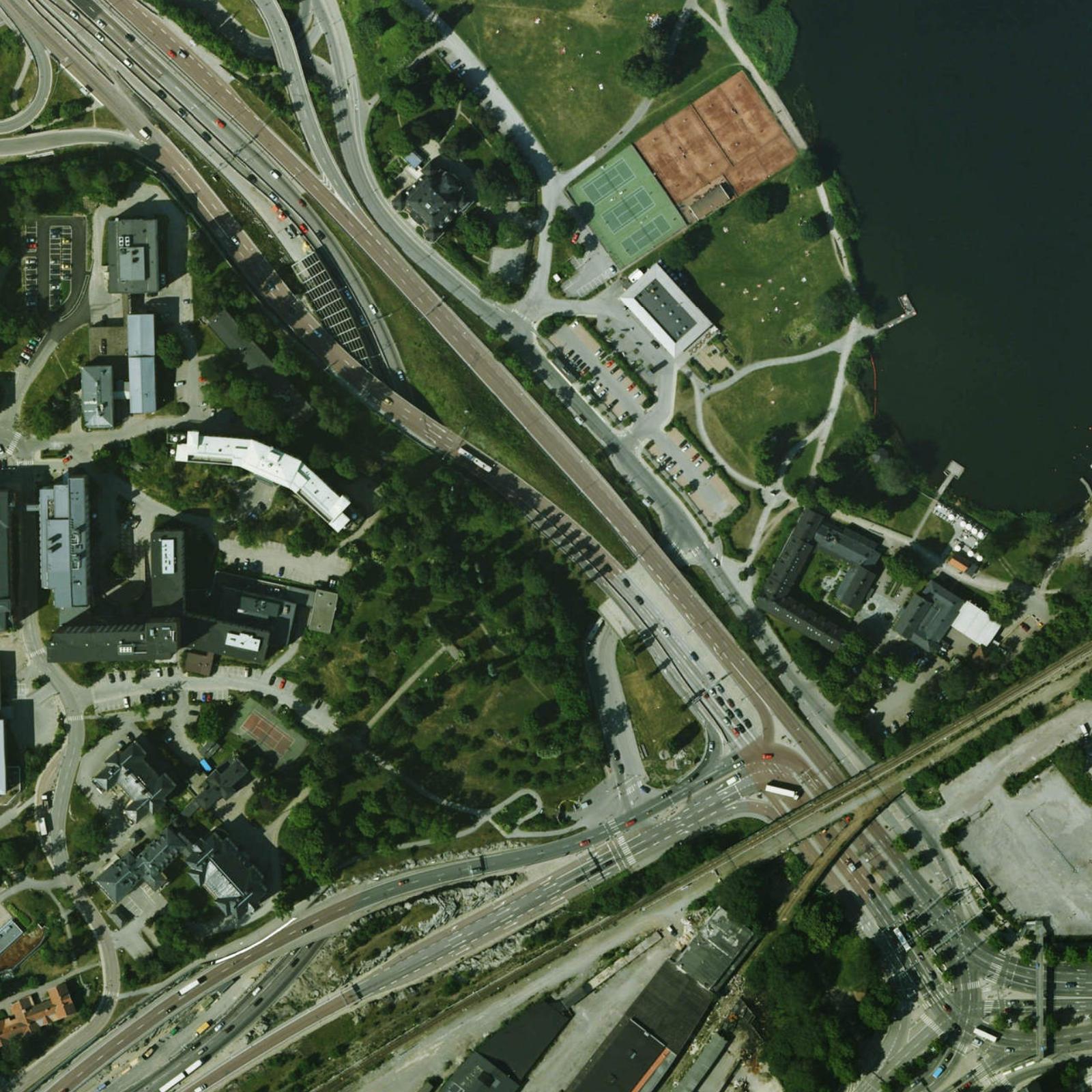
© Stockholms stad / Stadsbyggnadskontoret · Ortofoto 2006
- Survey year
- 2006
- Export pixel size
- 0.32 m
- Source nominal ground resolution
- 0.2 m
- Dimensions
- 1600 × 1600
- CRS
- EPSG:3011
- Bounds [west, south, east, north]
- [152064, 6581632, 152576, 6582144]
- Image type
- Processed WMS orthophoto mosaic
- SHA-256
- 39c05a4a0c886346a722b7c7589c598d1ea74f84ffd693f02f110dbb0610b9bc
The city describes orthophotos older than the latest two years as open geodata. Its open-data page permits reuse and sharing. JOSM labels the 2022 service CC0; the WMS capabilities still contain a conflicting generic all-rights-reserved notice. This archive retains those source statements and does not assert a separately verified CC0 waiver.
Source and alignment notes